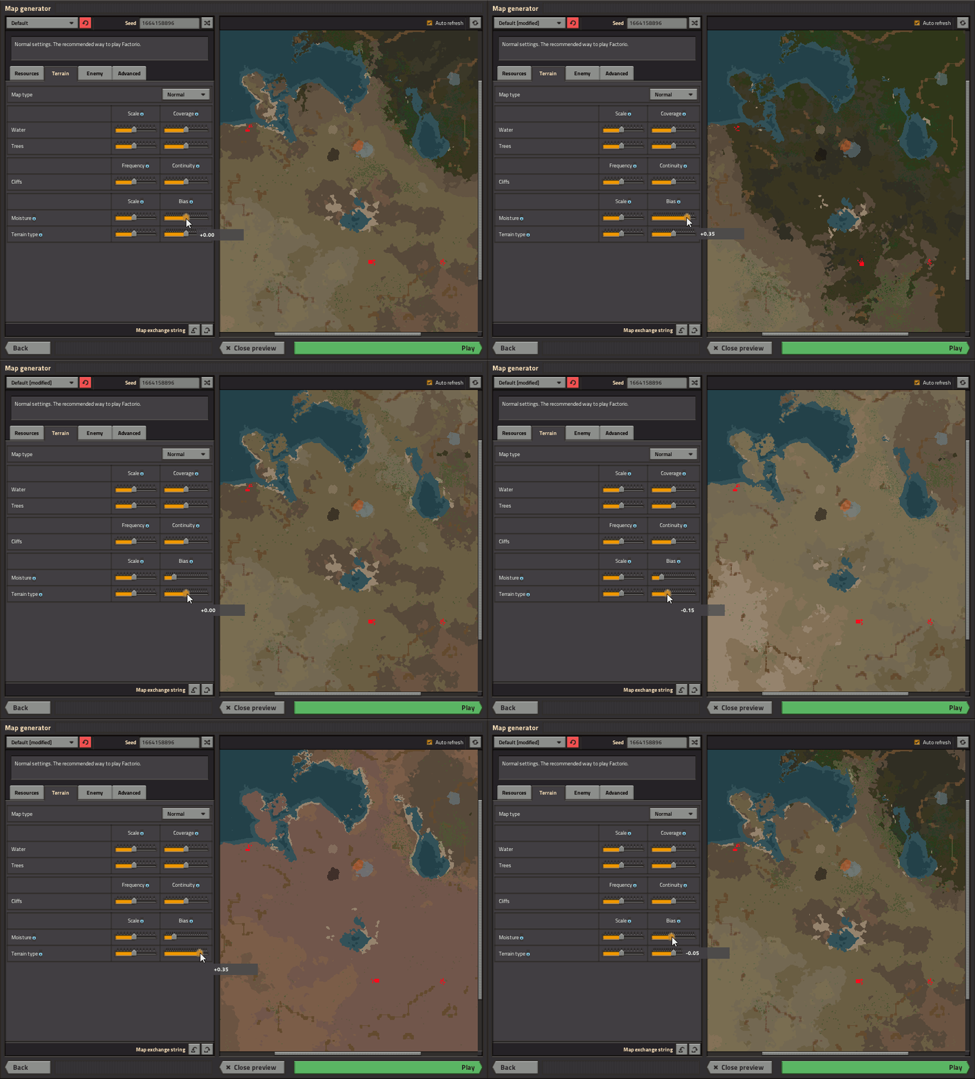
"Larger scale means larger land features" still seems like it's the inverse and just as counter-intuitive.So for 0.17, the water 'frequency' and 'size' sliders are being replaced with 'scale' and 'coverage', which do the same thing, but in a hopefully more obvious way. Larger scale means larger land features, while more coverage means more of the map covered in water.
Can this be reversed to a larger water 'scale' means more water? I may still be confused about the wording, but seeing it in a working preview will fix that.


