Page 1 of 1

Select train station with map

Posted: Fri Aug 19, 2016 11:09 pm
by chris13524
When I select a train station, I have to scroll through a list of stations. I think it would be better (and cooler) if a map popped up, and you could select the station (which would get slightly larger on selection), press OK/Enter, and then select the train condition. This would defiantly help during brain farts when I'm like "What's the station called again?" (even though they are named "Iron Unload" and the such).

Re: Select train station with map

Posted: Sat Aug 20, 2016 8:03 am
by ssilk
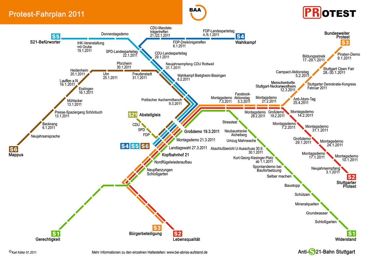
To choose this in a simple way, we need some new kind of schematized map, cause the current map view would be working more or less well, but not when the stations are very thight placed (and vice versa).
See also viewtopic.php?f=80&t=18153 Information-Layers (for map and/or normal view)

Something like
Image

BTW: This is the "Protest timetable" of opponents of https://de.wikipedia.org/wiki/Stuttgart_21 (english https://en.wikipedia.org/wiki/Stuttgart_21 )

Re: Select train station with map

Posted: Sat Aug 20, 2016 10:10 am
by chris13524
To choose this in a simple way, we need some new kind of schematized map, cause the current map view would be working more or less well, but not when the stations are very thight placed (and vice versa).
See also viewtopic.php?f=80&t=18153 Information-Layers (for map and/or normal view)
You would be able to zoom in/out like the regular map can (and every map view there is). I'm not sure, but if the stations are still too close together, maybe the zoom limit could be increased?

I like your idea of having a specialized view to do this though.

Re: Select train station with map

Posted: Sat Aug 20, 2016 11:01 am
by ssilk
chris13524 wrote: You would be able to zoom in/out like the regular map can (and every map view there is).
Yes, of course. But the point is, that I don't want to zoom (much) in this view. :)
The problem, because I want this is, that the dimension of the train network can be gigantic. So on one side you need to zoom out very large to move in the map and when you want to select a train stop you need to zoom in again.

The idea of this map is simple: The railway network is converted into a simpler graph. Therefore the current grid is splitted into pieces like 10x10 or 20x20 and you look, what rails are flowing into that and what's going out. That can be converted into a graph, where one area is a dot that has in- and out-vectors.
I'm not sure, but if the stations are still too close together, maybe the zoom limit could be increased?
In this view I don't want to see every single train stop. Especially, if they have the same name. Instead of

Coal Mine 1
Coal Mine 1
Coal Mine 1

I want to see for example

Coal Mine 1 (3)

Also some simple ideas from other games, like:
- is this station an IN our OUT station (or both?)
- What items are offered? Filtered?
- Distances between stations (about), so that you can calculate the best route (well I know that could be also automated, but one step after the other)

I don't want to see
- each signal. Only general direction of a track and red or green blocks
- each wagon of a train
- each track, especially in crossings. See above.


... Sorry, I should have posted this into an own suggestion. :roll:

Re: Select train station with map

Posted: Sat Aug 20, 2016 1:18 pm
by chris13524
... Sorry, I should have posted this into an own suggestion. :roll:
Haha, your ideas are good though!

Re: Select train station with map

Posted: Tue Nov 01, 2016 12:28 pm
by POPISowyNumer
Hooo boy idea similar to mine.


I'd love to see not only map of train stations to select via point'n'click, but also making of schedules to work as programmable graphs.

As in you can write short instructions for trains to choose to which station should they venture after getting clear to depart from current one.